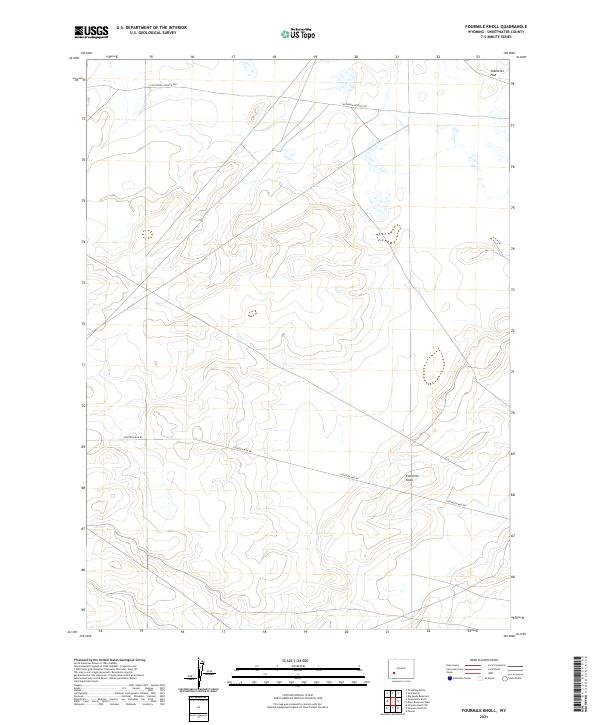
2021 Map of Fourmile Knoll
USGS Topo · Published 2021About this map
California-Oregon Trl cuts across the northern edge of this high-desert landscape in Sweetwater County, marking a corridor of immense significance to western migration. The terrain is characterized by broad basins like Sublettes Flat and isolated topographic rises such as Fourmile Knoll, which likely served as a distinct waypoint for travelers in the area. This 2021 survey by the U.S. Geological Survey illustrates how historical paths and modern infrastructure converge, with Eighteen Mile Rd navigating the central township lines. The sparse distribution of features underscores the persistent openness of this part of Wyoming, where the grid of the Public Land Survey System provides the primary framework for contemporary land management and navigation.
Find a feature on this map
8 named features on this map. Tap any name to fly to it.
Don’t see what you’re looking for? This feature index may not catch every label — zoom into the map to look around manually.
Map Details
Editions of this 2021 Fourmile Knoll Map
This is the sole edition of this map. No revisions or reprints were ever made.
Other maps of this area

1955 · Lander
USGS Topo · 1:250,000

1958 · Lander
USGS Topo · 1:250,000

1961 · Lander
USGS Topo · 1:250,000

1968 · Farson
USGS Topo · 1:24,000

1968 · Twelvemile Knoll
USGS Topo · 1:24,000
1968 · Eden Reservoir West
USGS Topo · 1:24,000
1968 · Simpson Gulch SE
USGS Topo · 1:24,000
1968 · Simpson Gulch SW
USGS Topo · 1:24,000
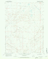
1968 · Fourmile Knoll
USGS Topo · 1:24,000
1969 · Juel Spring
USGS Topo · 1:24,000