
1968 Map of Fourmile Lake
USGS Topo · Published 1971About this map
Fourmile Lake and its neighboring wetlands dominate this Gilchrist County landscape, characterized by a high density of ponds and depressions typical of north-central Florida’s karst topography. The southern portion of the map is anchored by the settlement of Trenton, where the Seaboard Coast Line railroad cuts diagonally through the terrain. This corridor was central to the region’s timber and agricultural movement in the late 1960s.
Find a feature on this map
31 named features on this map. Tap any name to fly to it.
Don’t see what you’re looking for? This feature index may not catch every label — zoom into the map to look around manually.
Map Details
Editions of this 1968 Fourmile Lake Map
2 editions found
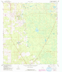
Other maps of this area

1954 · Gainesville
USGS Topo · 1:250,000

1958 · Gainesville
USGS Topo · 1:250,000

1959 · Gainesville
USGS Topo · 1:250,000

1968 · Newberry SW
USGS Topo · 1:24,000

1968 · Waters Lake
USGS Topo · 1:24,000

1968 · Hatchbend
USGS Topo · 1:24,000

1968 · Trenton
USGS Topo · 1:24,000
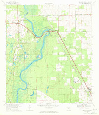
1968 · Suwannee River
USGS Topo · 1:24,000
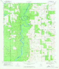
1968 · Wannee
USGS Topo · 1:24,000
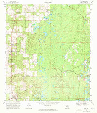
1968 · Bell
USGS Topo · 1:24,000