
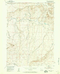
1953 Map of Fourmile Point
USGS Topo · Published 1955About this map
Shirley Basin provides a dramatic setting for this 1950s survey of Carbon County, where the high plains meet the weathered outcrops of Chalk Mtn and Fourmile Point. The map captures a landscape defined by water management and ranching operations, centered around the Meer Ranch and functional features like the Shearing Pens Draw. The intricate network of intermittent drainages, including Dry Creek and Muddy Creek, reveals the topographic challenges of this arid region.
Find a feature on this map
17 named features on this map. Tap any name to fly to it.
Don’t see what you’re looking for? This feature index may not catch every label — zoom into the map to look around manually.
Map Details
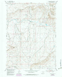
Editions of this 1953 Fourmile Point Map
3 editions found
Other maps of this area

1951 · Bear Mountain
USGS Topo · 1:24,000

1951 · Bear Spring
USGS Topo · 1:24,000

1953 · Fourmile Ridge
USGS Topo · 1:24,000

1953 · The Q Ranch
USGS Topo · 1:24,000

1953 · Beaver Creek
USGS Topo · 1:24,000

1955 · Casper
USGS Topo · 1:250,000

1958 · Casper
USGS Topo · 1:250,000

1960 · Wild Irish Reservoir
USGS Topo · 1:24,000

1960 · Horse Peak
USGS Topo · 1:24,000
1961 · Pine Hill
USGS Topo · 1:24,000