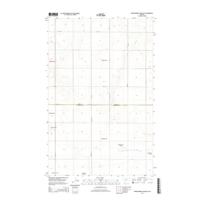
2014 Map of Fourteenmile Coulee SE
USGS Topo · Published 2014About this map
Hill Co Chouteau Co boundary lines intersect this high plains landscape, where the vast drainage patterns of north-central Montana are clearly defined. The terrain is dominated by the broad expanse of the Lonesome Prairie, a characteristic feature of this region's geography. Water follows the natural contours of the land through deeply etched channels including Fourteenmile Coulee, Twelvemile Coulee, and Sixmile Coulee, which serve as the primary topographic markers in an otherwise open environment. A sparse but geometric road network, including Gardiner Rd N and Edwards Rd, provides access across the sections of T30N and T29N. This 2014 survey documents the enduring rural character of the borderlands between Hill and Chouteau counties, illustrating the relationship between the flat prairie lands and the coulees that break the horizon.
Find a feature on this map
17 named features on this map. Tap any name to fly to it.
Don’t see what you’re looking for? This feature index may not catch every label — zoom into the map to look around manually.
Map Details
Editions of this 2014 Fourteenmile Coulee SE Map
This is the sole edition of this map. No revisions or reprints were ever made.
Other maps of this area

1904 · Boxelder
USGS Topo · 1:62,500

1906 · Lonesome
USGS Topo · 1:62,500

1906 · Boxelder
USGS Topo · 1:62,500

1919 · Big Sandy
USGS Topo · 1:125,000

1954 · Shelby
USGS Topo · 1:250,000

1958 · Shelby
USGS Topo · 1:250,000

1969 · Box Elder NW
USGS Topo · 1:24,000

1969 · Fourteenmile Coulee SW
USGS Topo · 1:24,000
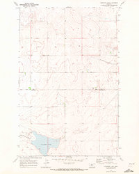
1969 · Lonesome Lake
USGS Topo · 1:24,000

1969 · Fourteenmile Coulee NW
USGS Topo · 1:24,000