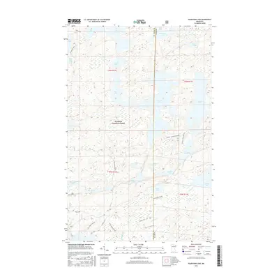
2016 Map of Fourtown Lake
USGS Topo · Published 2016About this map
Superior National Forest dominates this landscape in northern Minnesota, defined by its complex network of interconnected waterways and specialized portage routes. This 2016 survey highlights the intricate drainage systems where Range River and Grassy Creek connect numerous remote bodies of water like Fourtown Lake and Mudro Lake. The map reveals a specific infrastructure for wilderness access, including the Mudro Access Road and the Angleworm Trail, alongside seasonal winter routes such as Tin Can - Fourtown - Winter.
Find a feature on this map
41 named features on this map. Tap any name to fly to it.
Don’t see what you’re looking for? This feature index may not catch every label — zoom into the map to look around manually.
Map Details
Editions of this 2016 Fourtown Lake Map
This is the sole edition of this map. No revisions or reprints were ever made.
Other maps of this area

1933 · Ely
USGS Topo · 1:62,500

1939 · Ely
USGS Topo · 1:62,500

1954 · Two Harbors
USGS Topo · 1:250,000

1957 · Two Harbors
USGS Topo · 1:250,000

1957 · Gabbro Lake
USGS Topo · 1:62,500

1957 · Basswood Lake
USGS Topo · 1:62,500

1957 · Quetico
USGS Topo · 1:250,000

1958 · Two Harbors
USGS Topo · 1:250,000

1963 · Fourtown Lake
USGS Topo · 1:24,000
1963 · Angleworm Lake
USGS Topo · 1:24,000