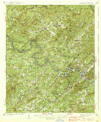
1938 Map of Fowler Bend
USGS Topo · Published 1938About this map
The Hiwassee River and Nottely River converge near Murphy in this mapping of the North Carolina and Tennessee borderlands. This 1930s landscape shows the transition from mountain farming and local commerce, evidenced by Radford Mill and Dockery Store, toward the modernized utility represented by the Nottely Dam. The terrain is marked by the presence of the Murphy Indian Res Henson Donation and the vast Nantahala National Forest, which covers much of the high ground through the Unicoi Mountains. Genealogists will find a wealth of local landmarks, including family-named churches like Harris Chapel and several community centers such as Grape Creek Sch and Mt Nebo Sch. The Louisville & Nashville RR traces the river valleys, providing a vital link for timber and agricultural transport between remote settlements like Unaka and the larger hub of Murphy.
Find a feature on this map
142 named features on this map. Tap any name to fly to it.
Don’t see what you’re looking for? This feature index may not catch every label — zoom into the map to look around manually.
Map Details
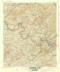
Editions of this 1938 Fowler Bend Map
2 editions found
Other maps of this area

1886 · Dahlonega
USGS Topo · 1:125,000

1888 · Ellijay
USGS Topo · 1:125,000

1892 · Dahlonega
USGS Topo · 1:125,000

1892 · Ellijay
USGS Topo · 1:125,000

1893 · Murphy
USGS Topo · 1:125,000

1896 · Dahlonega
USGS Topo · 1:125,000

1898 · Ellijay
USGS Topo · 1:125,000

1903 · Dahlonega
USGS Topo · 1:125,000

1911 · Ellijay
USGS Topo · 1:125,000

1914 · Murphy
USGS Topo · 1:125,000