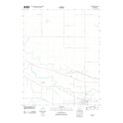
2010 Map of Fowler
USGS Topo · Published 2010About this map
The Arkansas River carves a fertile path through Otero County, defining the agricultural character of this plains landscape. In 2010, the town of Fowler stands as the primary hub, surrounded by a complex network of irrigation infrastructure essential for high-desert farming. Significant engineering is visible in the Colorado Canal, the Oxford Farmers Ditch, and the Rocky Ford Highline Canal, which divert water to support local harvests. Smaller named settlements like Hamlet and Pultney are situated along these waterways and rail corridors, illustrating the historical pattern of development tied to the river valley. To the southeast, the Fowler Cemetery provides a focal point for genealogical research, while the northern reaches of the map transition into a grid of rural routes including Hagelstein Rd and Nepesta Hills Rd.
Find a feature on this map
29 named features on this map. Tap any name to fly to it.
Don’t see what you’re looking for? This feature index may not catch every label — zoom into the map to look around manually.
Map Details
Editions of this 2010 Fowler Map
This is the sole edition of this map. No revisions or reprints were ever made.
Other maps of this area

1891 · Catlin
USGS Topo · 1:125,000

1891 · Nepesta
USGS Topo · 1:125,000

1893 · Nepesta
USGS Topo · 1:125,000

1893 · Catlin
USGS Topo · 1:125,000

1904 · Nepesta
USGS Topo · 1:125,000

1954 · Olney Springs
USGS Topo · 1:24,000

1954 · Elder
USGS Topo · 1:24,000

1954 · Lamar
USGS Topo · 1:250,000

1954 · Pueblo
USGS Topo · 1:250,000

1957 · Pueblo
USGS Topo · 1:250,000