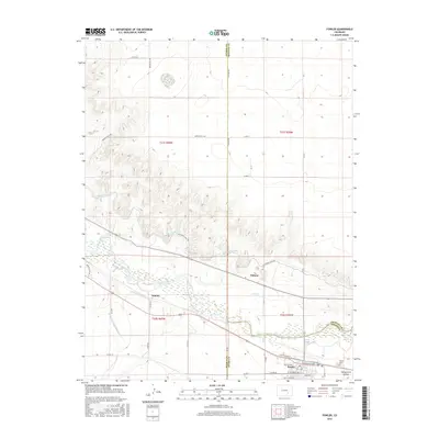
2016 Map of Fowler
USGS Topo · Published 2016About this map
The Arkansas River and its intricate network of irrigation channels define the landscape of this southern Colorado corridor, where the town of Fowler serves as a central hub. This survey illustrates the vital water management systems that have sustained the region, including the Colorado Canal, the Oxford-Farmers Ditch, and the Rocky Ford Highline Canal. These man-made waterways crisscross the valley floor, supporting agricultural operations between the small settlements of Pultney and Hamlet.
Find a feature on this map
38 named features on this map. Tap any name to fly to it.
Don’t see what you’re looking for? This feature index may not catch every label — zoom into the map to look around manually.
Map Details
Editions of this 2016 Fowler Map
This is the sole edition of this map. No revisions or reprints were ever made.
Other maps of this area

1891 · Catlin
USGS Topo · 1:125,000

1891 · Nepesta
USGS Topo · 1:125,000

1893 · Nepesta
USGS Topo · 1:125,000

1893 · Catlin
USGS Topo · 1:125,000

1904 · Nepesta
USGS Topo · 1:125,000

1954 · Olney Springs
USGS Topo · 1:24,000

1954 · Elder
USGS Topo · 1:24,000

1954 · Lamar
USGS Topo · 1:250,000

1954 · Pueblo
USGS Topo · 1:250,000

1957 · Pueblo
USGS Topo · 1:250,000