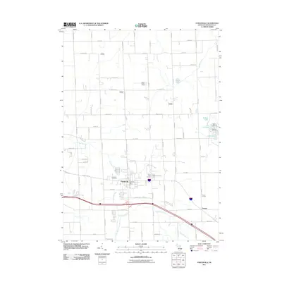
2011 Map of Fowlerville
USGS Topo · Published 2011About this map
Fowlerville serves as the primary hub of this Livingston County landscape, situated where the Red Cedar River begins its course through a mix of agriculture and community spaces. This early 21st-century record highlights the village's civic infrastructure, including the Fowlerville Fairgrounds and the Fowlerville Post Office, while the surrounding township remains characterized by a dense network of family-named roads like Nicholson Rd and Fleming Rd.
Find a feature on this map
72 named features on this map. Tap any name to fly to it.
Don’t see what you’re looking for? This feature index may not catch every label — zoom into the map to look around manually.
Map Details
Editions of this 2011 Fowlerville Map
This is the sole edition of this map. No revisions or reprints were ever made.
Other maps of this area

1907 · Howell
USGS Topo · 1:62,500

1908 · Fowlerville
USGS Topo · 1:62,500

1909 · Howell
USGS Topo · 1:62,500

1910 · Fowlerville
USGS Topo · 1:62,500

1922 · Durand
USGS Topo · 1:62,500

1926 · Corunna
USGS Topo · 1:62,500

1929 · Corunna
USGS Topo · 1:62,500

1943 · Durand
USGS Topo · 1:62,500

1944 · Corunna
USGS Topo · 1:62,500

1954 · Detroit
USGS Topo · 1:250,000
Featured Places
- Handy Township, MI
- Howell Township, MI
- Conway Township, MI
- Cohoctah Township, MI
- Fowlerville, Handy Township