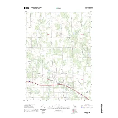
2023 Map of Fowlerville
USGS Topo · Published 2023About this map
Fowlerville serves as the primary hub of this Livingston County landscape, situated along the historic corridor of W Grand River Ave. The settlement pattern reflects a deeply rooted rural community, where numerous family-linked burial grounds like Conway Klein Cem and Coughran Cem are scattered among the agricultural sections. The drainage of the land is managed by an intricate network of man-made and natural waterways, including the Conway Cohoctah Union Drain and the Red Cedar River. To the east, the smaller community of Fleming sits near the crossing of the Middle Branch Red Cedar River. Modern infrastructure is visible through the presence of the Maple Grove Airport, while the northern reaches of the quadrangle remain dominated by wetlands and lakes such as Sabine Lake and Lake Cohoctah.
Find a feature on this map
63 named features on this map. Tap any name to fly to it.
Don’t see what you’re looking for? This feature index may not catch every label — zoom into the map to look around manually.
Map Details
Editions of this 2023 Fowlerville Map
This is the sole edition of this map. No revisions or reprints were ever made.
Other maps of this area

1907 · Howell
USGS Topo · 1:62,500

1908 · Fowlerville
USGS Topo · 1:62,500

1909 · Howell
USGS Topo · 1:62,500

1910 · Fowlerville
USGS Topo · 1:62,500

1922 · Durand
USGS Topo · 1:62,500

1926 · Corunna
USGS Topo · 1:62,500

1929 · Corunna
USGS Topo · 1:62,500

1943 · Durand
USGS Topo · 1:62,500

1944 · Corunna
USGS Topo · 1:62,500

1954 · Detroit
USGS Topo · 1:250,000
Featured Places
- Handy Township, MI
- Howell Township, MI
- Conway Township, MI
- Cohoctah Township, MI
- Fowlerville, Handy Township