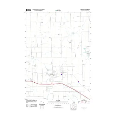
Loading...
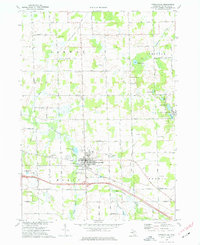
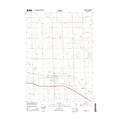
Loading map...1973 Map of Fowlerville
USGS Topo · Published 1977About this map
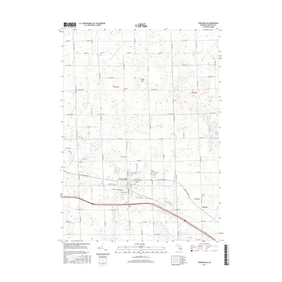
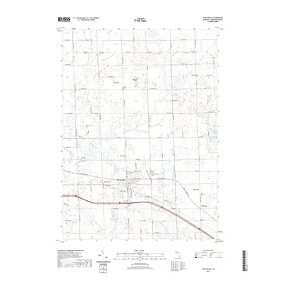
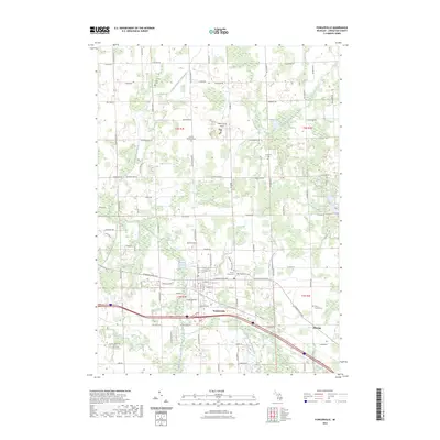
The village of Fowlerville serves as the focal point of this central Michigan landscape, where the Chesapeake and Ohio railroad corridor parallels the Red Cedar River. During the early 1970s, this area maintained its rural character across the townships of Conway, Cohoctah, Handy, and Howell. The map reveals a dense network of family-named roads and rural cemeteries, such as Greenwood Cem and Mt Olivet Cem, which provide significant value for genealogical research.
Find a feature on this map
54 named features on this map. Tap any name to fly to it.
Don’t see what you’re looking for? This feature index may not catch every label — zoom into the map to look around manually.
Map Details
Date Portrayed1973
Date Published1977
PublisherU.S. Geological Survey
Map TypeTopographic
Scale1:24,000
Physical Dimensions21.9 x 26.8 inches
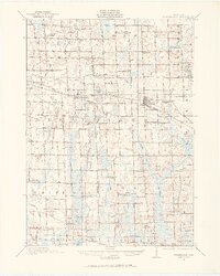
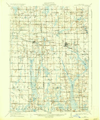
Editions of this 1973 Fowlerville Map
This is the sole edition of this map. No revisions or reprints were ever made.
Historical Maps of Handy Township Through Time
8 maps found
Featured Locations
- Howell Township, MI
- Cohoctah Township, MI
- Conway Township, MI
- Handy Township, MI
- Fowlerville, Handy Township
Source Details
SourceU.S. Geological Survey
CopyrightPublic Domain