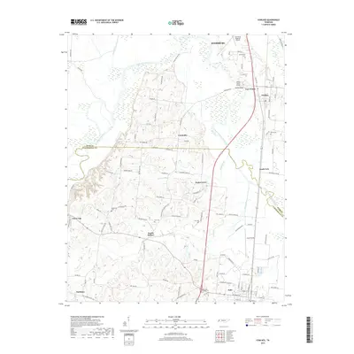
2019 Map of Fowlkes
USGS Topo · Published 2019About this map
The Forked Deer River and its south fork wind through this West Tennessee landscape, defining the transition from the Dyersburg outskirts to the rural communities of southern Dyer County and northern Lauderdale County. Small settlements and historic crossroads like Double Bridges, Poplar Grove, and Nankipoo are scattered throughout the agricultural lowlands. The map reveals a dense network of family-named landmarks and rural burial sites, including Butterworth Cem, King Cem, and Rutherford Cem, which offer significant value for genealogical research in this region.
Find a feature on this map
104 named features on this map. Tap any name to fly to it.
Don’t see what you’re looking for? This feature index may not catch every label — zoom into the map to look around manually.
Map Details
Editions of this 2019 Fowlkes Map
This is the sole edition of this map. No revisions or reprints were ever made.
Other maps of this area

1939 · Dyersburg
USGS Topo · 1:62,500

1939 · Hales Point
USGS Topo · 1:62,500

1939 · Caruthersville
USGS Topo · 1:62,500

1939 · Halls
USGS Topo · 1:62,500

1951 · Caruthersville
USGS Topo · 1:62,500

1952 · Hales Point
USGS Topo · 1:62,500

1952 · Gates
USGS Topo · 1:24,000

1952 · Bonicord
USGS Topo · 1:24,000

1952 · Newbern
USGS Topo · 1:24,000

1952 · Dyersburg
USGS Topo · 1:24,000