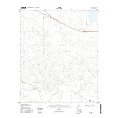
2016 Map of Fowlkes
USGS Topo · Published 2016About this map
Fowlkes sits at the intersection of local transport and hydrology in this Wichita County landscape, where the Hwy 287 Access Rd and FM 2384 converge. The terrain is defined by a dense network of drainage, including Burnett Cr, Wolf Cr, and Whisky Cr, which flow through the undulating plains toward the Wichita River in the south. The presence of water management features like the N Fork Buffalo Cr Reservoir and Beaver Creek Lake underscores the importance of water storage for this region.
Find a feature on this map
36 named features on this map. Tap any name to fly to it.
Don’t see what you’re looking for? This feature index may not catch every label — zoom into the map to look around manually.
Map Details
Editions of this 2016 Fowlkes Map
This is the sole edition of this map. No revisions or reprints were ever made.
Other maps of this area

1915 · Clara
USGS Topo · 1:24,000

1915 · Barwise School
USGS Topo · 1:24,000

1916 · Electra
USGS Topo · 1:24,000

1916 · Iowa Park
USGS Topo · 1:24,000

1916 · Fowlkes
USGS Topo · 1:24,000

1917 · Beaver Creek
USGS Topo · 1:24,000

1918 · Electra
USGS Topo · 1:31,680

1918 · Barwise School
USGS Topo · 1:31,680

1918 · Clara
USGS Topo · 1:31,680

1918 · Iowa Park
USGS Topo · 1:31,680