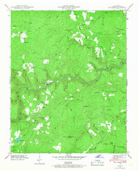
1946 Map of Fox Creek
USGS Topo · Published 1968About this map
Bee Ridge and Cove Ridge dominate the landscape of this Cumberland County territory as documented in the mid-1940s. The Obed River carves a deep winding path through the center of the map, crossed by historic transit points like Adams Bridge, Potter Ford, and Henry Ford. Small upland communities such as Genesis, Whitepine, and Peavine are anchored by local institutions, including Shiloh Ch and Neal Chapel.
Find a feature on this map
82 named features on this map. Tap any name to fly to it.
Don’t see what you’re looking for? This feature index may not catch every label — zoom into the map to look around manually.
Map Details
Editions of this 1946 Fox Creek Map
3 editions found
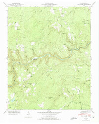
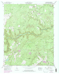
Other maps of this area

1887 · Kingston
USGS Topo · 1:125,000

1891 · Kingston
USGS Topo · 1:125,000

1892 · Pikeville
USGS Topo · 1:125,000

1893 · Kingston
USGS Topo · 1:125,000

1895 · Wartburg
USGS Topo · 1:125,000

1895 · Pikeville
USGS Topo · 1:125,000

1896 · Wartburg
USGS Topo · 1:125,000

1897 · Standingstone
USGS Topo · 1:125,000

1898 · Standingstone
USGS Topo · 1:125,000

1912 · Crossville
USGS Topo · 1:62,500