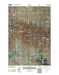
2011 Map of Fox
USGS Topo · Published 2011About this map
Fox and its surrounding valley landscape are the focal point of this 2011 survey, showing a network of ranching and milling sites along the high-country drainages of Grant County. This small settlement is served by the Fox Post Office, situated near the intersection of several local routes such as Jack Vaughn Rd and Fox Cemetery Rd. The map documents the local economy and community history through landmarks like Waterbury Mill and Fox Mill, along with the Fox Valley Cemetery to the south.
Find a feature on this map
25 named features on this map. Tap any name to fly to it.
Don’t see what you’re looking for? This feature index may not catch every label — zoom into the map to look around manually.
Map Details
Editions of this 2011 Fox Map
This is the sole edition of this map. No revisions or reprints were ever made.
Other maps of this area
1949 · Long Creek
USGS Topo · 1:62,500
1950 · Ritter
USGS Topo · 1:62,500
1951 · Long Creek
USGS Topo · 1:62,500
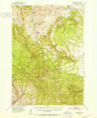
1951 · Courtrock
USGS Topo · 1:62,500
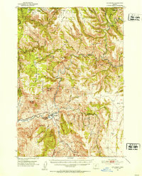
1951 · Monument
USGS Topo · 1:62,500
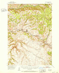
1952 · Ritter
USGS Topo · 1:62,500
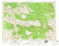
1955 · Canyon City
USGS Topo · 1:250,000
1959 · Canyon City
USGS Topo · 1:250,000
1980 · Monument
USGS Topo · 1:100,000
1990 · Donaldson Creek
USGS Topo · 1:24,000