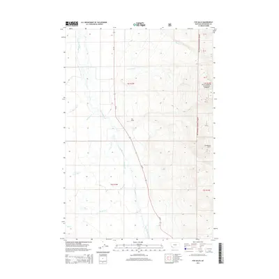
2014 Map of Fox Gulch
USGS Topo · Published 2014About this map
The Big Hole River meanders through this portion of Beaverhead County, defining a wide valley floor marked by intricate drainage systems and swampy lowlands. To the east, the terrain rises sharply into the timbered slopes of the Beaverhead National Forest, where named drainages like Cow Cabin Cr and Stanley Cr cut through the high country. The map captures a landscape of distinct transitions, from the open river bottom to the high-elevation gulches along the forest boundary.
Find a feature on this map
19 named features on this map. Tap any name to fly to it.
Don’t see what you’re looking for? This feature index may not catch every label — zoom into the map to look around manually.
Map Details
Editions of this 2014 Fox Gulch Map
This is the sole edition of this map. No revisions or reprints were ever made.
Other maps of this area

1955 · Dillon
USGS Topo · 1:250,000

1957 · Dillon
USGS Topo · 1:250,000

1958 · Dillon
USGS Topo · 1:250,000

1962 · Dillon
USGS Topo · 1:250,000

1962 · Wisdom
USGS Topo · 1:24,000

1962 · Stewart Mountain
USGS Topo · 1:24,000

1965 · Dillon
USGS Topo · 1:250,000

1966 · Miner Lake
USGS Topo · 1:24,000
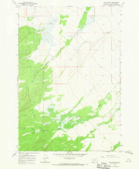
1966 · Ajax Ranch
USGS Topo · 1:24,000
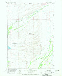
1966 · Highland Ranch
USGS Topo · 1:24,000