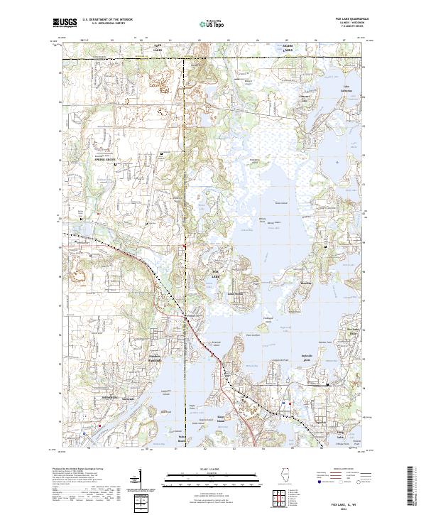
2024 Map of Fox Lake
USGS Topo · Published 2024About this map
Chain-O-Lakes State Park and the intricate waterways of the Fox River dominate this landscape on the Illinois-Wisconsin border. The map reveals a densely interconnected network of glacial lakes, from Pistakee Lake in the south to Channel Lake and Lake Catherine at the northern state line. These waters are punctuated by named landforms like Gander Mtn and numerous islands including Crabapple Island and Kings Island.
Find a feature on this map
77 named features on this map. Tap any name to fly to it.
Don’t see what you’re looking for? This feature index may not catch every label — zoom into the map to look around manually.
Map Details
Editions of this 2024 Fox Lake Map
This is the sole edition of this map. No revisions or reprints were ever made.
Other maps of this area

1893 · Silver Lake
USGS Topo · 1:62,500

1893 · Geneva
USGS Topo · 1:62,500

1904 · Lake Geneva
USGS Topo · 1:62,500

1906 · Silver Lake
USGS Topo · 1:62,500

1906 · Lake Geneva
USGS Topo · 1:62,500

1920 · Grays Lake
USGS Topo · 1:62,500

1923 · Grays Lake
USGS Topo · 1:62,500

1926 · Mc Henry
USGS Topo · 1:62,500

1944 · McHenry
USGS Topo · 1:62,500

1954 · Rockford
USGS Topo · 1:250,000