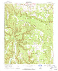
1969 Map of Fox
USGS Topo · Published 1971About this map
Timbo and Fox anchor this late-1960s survey of the Ozark highlands, where the local economy and social life are clearly tied to high ridges and deep hollows. The map illustrates a landscape of high elevation points like Blue Mountain and Bald Knob interspersed with small community centers. Cultural life is evidenced by numerous houses of worship, including Our Lady of Victory Ch, Zion Ch, and Community Ch.
Find a feature on this map
65 named features on this map. Tap any name to fly to it.
Don’t see what you’re looking for? This feature index may not catch every label — zoom into the map to look around manually.
Map Details
Editions of this 1969 Fox Map
2 editions found
Other maps of this area

1892 · Mountain View
USGS Topo · 1:125,000

1894 · Mountain View
USGS Topo · 1:125,000

1956 · Russellville
USGS Topo · 1:250,000

1964 · Russellville
USGS Topo · 1:250,000

1969 · Mountain View SW
USGS Topo · 1:24,000
1972 · Onia
USGS Topo · 1:24,000
1972 · Landis
USGS Topo · 1:24,000
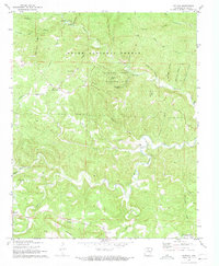
1972 · Fiftysix
USGS Topo · 1:24,000
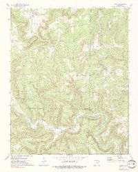
1973 · Oxley
USGS Topo · 1:24,000
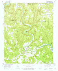
1973 · Shirley
USGS Topo · 1:24,000