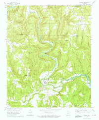
1973 Map of Shirley
USGS Topo · Published 1975About this map
The Little Middle Fork Red River carves a deep valley through this portion of the Ozark foothills, centering on the town of Shirley. In the early 1970s, the landscape reflects a transition from traditional upland farming and timbering toward recreational development, notably seen at Fairfield Bay. The infrastructure of an earlier era is visible in the Old Railroad Grade that follows the river's winding course, passing the Gaging Station and the Collins Cemetery. To the north, higher elevations like John Henry Mountain and Payne Mountain dominate the terrain, separated by narrow hollows such as Bat Cave Hollow and Moccasin Hollow. Genealogists will find numerous family-named landmarks and local burial sites, including the Settlement Cemetery and Rushing Cemetery near the community of Rushing, which also features a prominent Lookout Tower.
Find a feature on this map
65 named features on this map. Tap any name to fly to it.
Don’t see what you’re looking for? This feature index may not catch every label — zoom into the map to look around manually.
Map Details
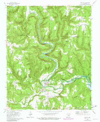
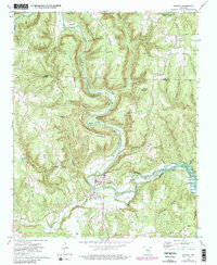
Editions of this 1973 Shirley Map
3 editions found
Other maps of this area

1892 · Mountain View
USGS Topo · 1:125,000

1894 · Mountain View
USGS Topo · 1:125,000

1956 · Russellville
USGS Topo · 1:250,000

1964 · Russellville
USGS Topo · 1:250,000

1969 · Mountain View SW
USGS Topo · 1:24,000
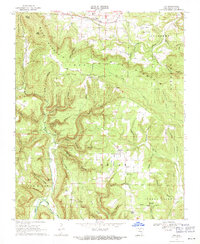
1969 · Fox
USGS Topo · 1:24,000
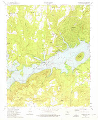
1973 · Fairfield Bay
USGS Topo · 1:24,000
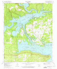
1973 · Greers Ferry
USGS Topo · 1:24,000
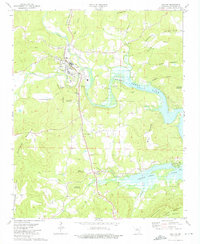
1973 · Clinton
USGS Topo · 1:24,000
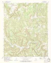
1973 · Oxley
USGS Topo · 1:24,000