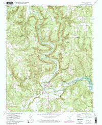
1973 Map of Shirley
USGS Topo · Published 1982About this map
Shirley anchors this mid-century portrait of the Middle Fork Little Red River corridor where Van Buren and Stone counties meet. The landscape is defined by the winding river and its significant elevation changes, from the Rapids near Simkins Point to the high ground of Lute Mountain and John Henry Mountain. Evidence of early Ozark settlement is scattered throughout the valleys and hollows, preserved in locations like Settlement Cem and the Lute Cem. A Gaging Station and Water Tank in Shirley mark the town's role as a local hub, while the presence of Lookout Tower near Rushing highlights the forest management of the era. The mapping also captures transition points where the river feeds into the upper reaches of Greers Ferry Lake, including the Ford near Little Creek.
Find a feature on this map
60 named features on this map. Tap any name to fly to it.
Don’t see what you’re looking for? This feature index may not catch every label — zoom into the map to look around manually.
Map Details
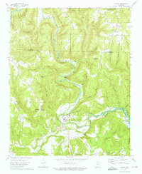
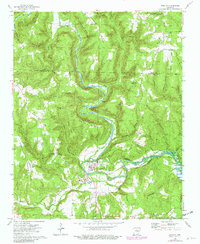
Editions of this 1973 Shirley Map
3 editions found
Other maps of this area

1892 · Mountain View
USGS Topo · 1:125,000

1894 · Mountain View
USGS Topo · 1:125,000

1956 · Russellville
USGS Topo · 1:250,000

1964 · Russellville
USGS Topo · 1:250,000

1969 · Mountain View SW
USGS Topo · 1:24,000
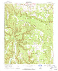
1969 · Fox
USGS Topo · 1:24,000
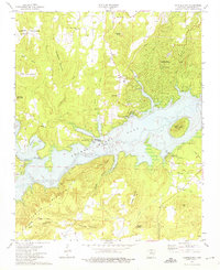
1973 · Fairfield Bay
USGS Topo · 1:24,000
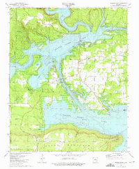
1973 · Greers Ferry
USGS Topo · 1:24,000
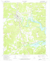
1973 · Clinton
USGS Topo · 1:24,000
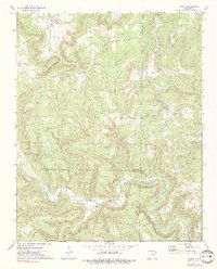
1973 · Oxley
USGS Topo · 1:24,000