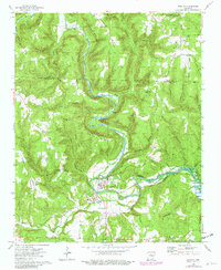
1973 Map of Shirley
USGS Topo · Published 1982About this map
The Middle Fork Little Red River carves a winding path through the northern Ozark foothills, defining the settlement patterns of Shirley and surrounding communities like Rushing and Lydalisk. The landscape is a complex network of ridges and hollows, where family history is anchored at sites such as Settlement Cem and Rushing Cem. Significant industrial markers appear throughout, including a Railroad Grade that follows the river's contours and various Gravel Pits and Quarries that point to the area's geological utility.
Find a feature on this map
41 named features on this map. Tap any name to fly to it.
Don’t see what you’re looking for? This feature index may not catch every label — zoom into the map to look around manually.
Map Details
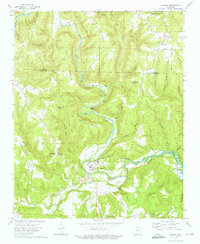
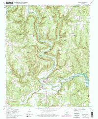
Editions of this 1973 Shirley Map
3 editions found
Other maps of this area

1892 · Mountain View
USGS Topo · 1:125,000

1894 · Mountain View
USGS Topo · 1:125,000

1956 · Russellville
USGS Topo · 1:250,000

1964 · Russellville
USGS Topo · 1:250,000

1969 · Mountain View SW
USGS Topo · 1:24,000
1969 · Fox
USGS Topo · 1:24,000
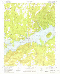
1973 · Fairfield Bay
USGS Topo · 1:24,000
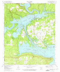
1973 · Greers Ferry
USGS Topo · 1:24,000
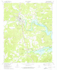
1973 · Clinton
USGS Topo · 1:24,000
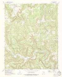
1973 · Oxley
USGS Topo · 1:24,000