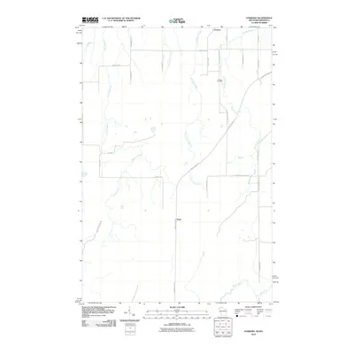
2010 Map of Foxboro
USGS Topo · Published 2010About this map
Foxboro and the rural crossroads of Harlis anchor this northern borderland survey, where the landscape is defined by the complex hydrology of the Net River and Little Net River systems. The terrain is crisscrossed by a network of drainage ways including Section Thirt-six Creek, State Line Creek, and Balsam Creek, which flow through the timbered plains and agricultural sections. This 2010 edition illustrates a region characterized by small-scale connectivity, with routes like Gandy Dancer Trl and County Hwy-B providing the primary movement through the township.
Find a feature on this map
28 named features on this map. Tap any name to fly to it.
Don’t see what you’re looking for? This feature index may not catch every label — zoom into the map to look around manually.
Map Details
Editions of this 2010 Foxboro Map
This is the sole edition of this map. No revisions or reprints were ever made.
Other maps of this area
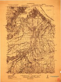
1915 · Superior
USGS Topo · 1:48,000
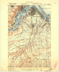
1917 · Superior
USGS Topo · 1:62,500
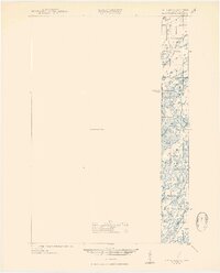
1949 · Holyoke
USGS Topo · 1:48,000
1949 · Patzau
USGS Topo · 1:48,000

1953 · Duluth
USGS Topo · 1:250,000
1954 · Borea
USGS Topo · 1:24,000
1954 · Foxboro
USGS Topo · 1:24,000
1954 · Wrenshall
USGS Topo · 1:24,000
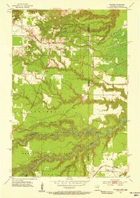
1954 · Frogner
USGS Topo · 1:24,000
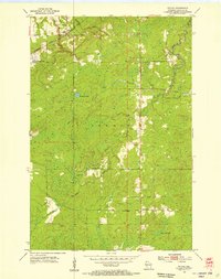
1954 · Patzau
USGS Topo · 1:24,000