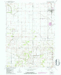
1962 Map of Francesville
USGS Topo · Published 1986About this map
Francesville anchors the northeastern corner of this Midwestern landscape, showing a classic gridded settlement along the Seaboard line. This early 1960s survey, updated with revisions from the 1980s, reveals an intricate network of drainage systems such as Ryan Ditch, Pelsey Ditch, and Huff Ditch, which were essential for converting the low-lying terrain into productive farmland. The map traces the meeting of three counties—Jasper, Pulaski, and White—where the township of Hanging Grove sits. Genealogists will find local landmarks like Osborne Cem and Nauvoo Cem documented alongside the settlement of Lee further south. The presence of a significant Quarry south of Francesville and various water features like Slough Creek highlight the intersection of natural resources and agricultural engineering in this rural Indiana corridor.
Find a feature on this map
32 named features on this map. Tap any name to fly to it.
Don’t see what you’re looking for? This feature index may not catch every label — zoom into the map to look around manually.
Map Details
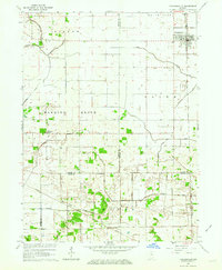
Editions of this 1962 Francesville Map
2 editions found
Other maps of this area

1953 · Chicago
USGS Topo · 1:250,000

1953 · Danville
USGS Topo · 1:250,000

1955 · Danville
USGS Topo · 1:250,000

1956 · Danville
USGS Topo · 1:250,000

1957 · Chicago
USGS Topo · 1:250,000

1962 · Monon NE
USGS Topo · 1:24,000

1962 · Monon
USGS Topo · 1:24,000

1962 · Monticello North
USGS Topo · 1:24,000

1962 · Medaryville
USGS Topo · 1:24,000

1962 · Gifford
USGS Topo · 1:24,000