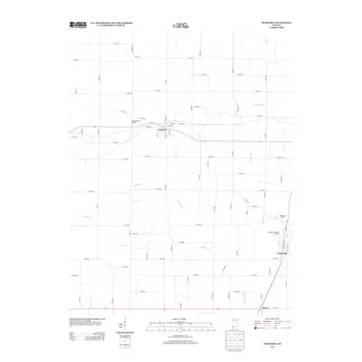
2013 Map of Francisco
USGS Topo · Published 2013About this map
Francisco serves as a central hub for this rural Gibson County landscape, where the local economy is shaped by extensive drainage systems and small-scale aviation. The intricate network of waterways, including Muddy Ditch and the various forks of Keg Cr, reflects a terrain engineered for agriculture and water management. Small settlements like Somerville and Mackey dot the southern reaches, connected by a grid of county roads that navigate the subtle rises of Kennedy Hill. The area is notably served by two private airstrips, Hollingsworth Airport near Francisco and Bottoms Brothers Airport further south, suggesting a legacy of regional accessibility. This survey documents the persistent rural character of the Indiana countryside, from the wandering path of Snake Run to the developed street plan within Francisco, including School St and Vine St.
Find a feature on this map
69 named features on this map. Tap any name to fly to it.
Don’t see what you’re looking for? This feature index may not catch every label — zoom into the map to look around manually.
Map Details
Editions of this 2013 Francisco Map
This is the sole edition of this map. No revisions or reprints were ever made.
Other maps of this area

1901 · Princeton
USGS Topo · 1:62,500

1901 · Haubstadt
USGS Topo · 1:62,500

1902 · Ditney
USGS Topo · 1:125,000

1902 · Boonville
USGS Topo · 1:62,500

1903 · Haubstadt
USGS Topo · 1:62,500

1903 · Petersburg
USGS Topo · 1:62,500

1903 · Princeton
USGS Topo · 1:62,500

1903 · Patoka
USGS Topo · 1:125,000

1956 · Vincennes
USGS Topo · 1:250,000

1957 · Vincennes
USGS Topo · 1:250,000