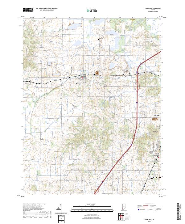
2022 Map of Francisco
USGS Topo · Published 2022About this map
Francisco serves as a central hub in this section of Gibson County, where the street grid of W Main St and W Chestnut St meets the rural agricultural landscape. The township structure of t2s r10w and t2s r9w is clearly defined by a dense network of county roads, punctuated by local landmarks like the IOOF Cem and the Meade Cem. The southern portion of the quadrangle shows the smaller settlements of Somerville and Mackey, reflecting the historical clustering of rural populations along regional corridors.
Find a feature on this map
75 named features on this map. Tap any name to fly to it.
Don’t see what you’re looking for? This feature index may not catch every label — zoom into the map to look around manually.
Map Details
Editions of this 2022 Francisco Map
This is the sole edition of this map. No revisions or reprints were ever made.
Other maps of this area

1901 · Princeton
USGS Topo · 1:62,500

1901 · Haubstadt
USGS Topo · 1:62,500

1902 · Ditney
USGS Topo · 1:125,000

1902 · Boonville
USGS Topo · 1:62,500

1903 · Haubstadt
USGS Topo · 1:62,500

1903 · Petersburg
USGS Topo · 1:62,500

1903 · Princeton
USGS Topo · 1:62,500

1903 · Patoka
USGS Topo · 1:125,000

1956 · Vincennes
USGS Topo · 1:250,000

1957 · Vincennes
USGS Topo · 1:250,000