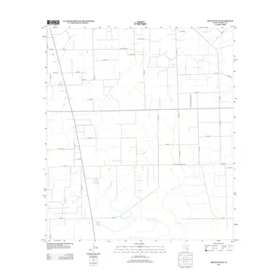
2013 Map of Francitas NW
USGS Topo · Published 2013About this map
The Ganado Oil Field dominates the northern reaches of this Jackson County landscape, marking the industrial footprint of petroleum extraction in the coastal plains. This region is defined by a dense grid of rural roads and the winding paths of several waterways, including Little Carancahua Cr and W Carancahua Cr. The drainage patterns provided by these creeks and Lunis Cr shape the agricultural parcels that fill the spaces between local thoroughfares like Reyes Rd and Texaco Rd. The infrastructure of the early 21st century is evident in the transition from numbered county roads to state-maintained routes such as Farm-To-Market Road 1157, reflecting the area's continued reliance on a network designed to move energy and agricultural products from the fields to wider markets.
Find a feature on this map
39 named features on this map. Tap any name to fly to it.
Don’t see what you’re looking for? This feature index may not catch every label — zoom into the map to look around manually.
Map Details
Editions of this 2013 Francitas NW Map
This is the sole edition of this map. No revisions or reprints were ever made.
Other maps of this area

1952 · Francitas NW
USGS Topo · 1:24,000

1952 · Manson
USGS Topo · 1:24,000

1952 · Francitas
USGS Topo · 1:24,000

1952 · Francitas NE
USGS Topo · 1:24,000

1952 · La Ward
USGS Topo · 1:24,000

1952 · Lolita
USGS Topo · 1:24,000

1953 · Beeville
USGS Topo · 1:250,000

1953 · Seguin
USGS Topo · 1:250,000

1956 · Beeville
USGS Topo · 1:250,000

1958 · Seguin
USGS Topo · 1:250,000