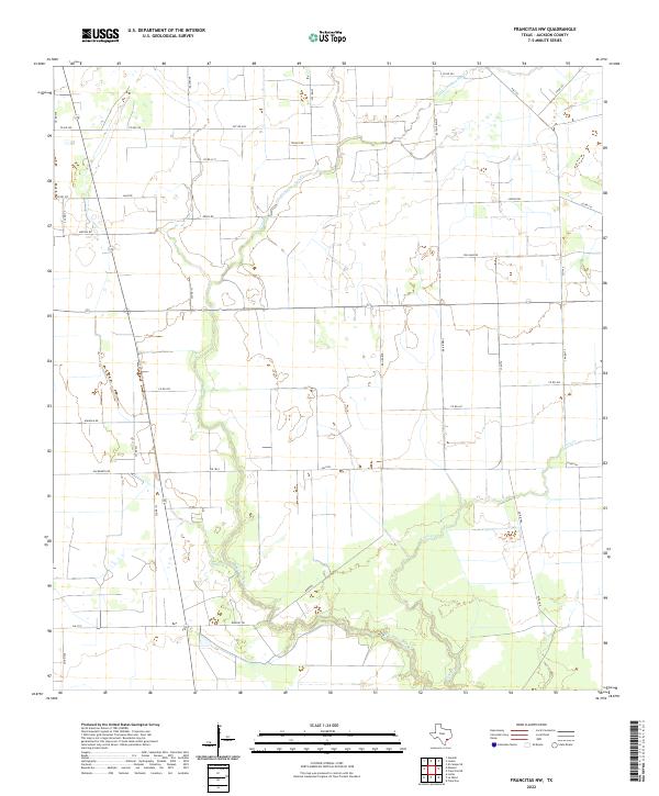
2022 Map of Francitas NW
USGS Topo · Published 2022About this map
W Carancahua Cr and its tributaries define the low-lying coastal prairie landscape of Jackson County in this 2022 survey. The drainage network, including Little Carancahua Cr and Lunis Cr, winds through a largely agricultural and industrial rural landscape. The grid of country roads reflects decades of land division and family settlement, featuring names like Matula Rd, Kudelka Rd, and White Hall Rd.
Find a feature on this map
39 named features on this map. Tap any name to fly to it.
Don’t see what you’re looking for? This feature index may not catch every label — zoom into the map to look around manually.
Map Details
Editions of this 2022 Francitas NW Map
This is the sole edition of this map. No revisions or reprints were ever made.
Other maps of this area

1952 · Francitas NW
USGS Topo · 1:24,000

1952 · Manson
USGS Topo · 1:24,000

1952 · Francitas
USGS Topo · 1:24,000

1952 · Francitas NE
USGS Topo · 1:24,000

1952 · La Ward
USGS Topo · 1:24,000

1952 · Lolita
USGS Topo · 1:24,000

1953 · Beeville
USGS Topo · 1:250,000

1953 · Seguin
USGS Topo · 1:250,000

1956 · Beeville
USGS Topo · 1:250,000

1958 · Seguin
USGS Topo · 1:250,000