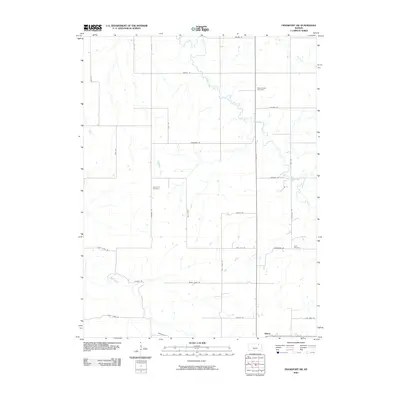
2009 Map of Frankfort SW
USGS Topo · Published 2009About this map
The settlement of Blaine sits in the southern portion of this landscape, serving as a focal point for the rural road network in this part of Pottawatomie County. The terrain is defined by the winding paths of several waterways, most notably the Clear Fork, which meanders through the central region, and Bluff Creek to the southwest. These drainage systems influenced the placement of early infrastructure and small community centers. Genealogists and local historians will find several burial grounds preserved on this sheet, including Mount Hope Cemetery in the northeast, Cedar Hill Cemetery near the center, and Berg Cemetery to the east. The map shows a transition from earlier settlement patterns to a modern grid of named rural routes such as Parallel Rd and Flint Hill Rd, which connect the isolated farmsteads and creek valleys of the Kansas prairie.
Find a feature on this map
35 named features on this map. Tap any name to fly to it.
Don’t see what you’re looking for? This feature index may not catch every label — zoom into the map to look around manually.
Map Details
Editions of this 2009 Frankfort SW Map
This is the sole edition of this map. No revisions or reprints were ever made.
Other maps of this area

1886 · Junction City
USGS Topo · 1:125,000

1889 · Seneca
USGS Topo · 1:125,000

1889 · Wamego
USGS Topo · 1:125,000

1889 · Marysville
USGS Topo · 1:125,000

1889 · Junction City
USGS Topo · 1:125,000

1894 · Junction City
USGS Topo · 1:125,000

1894 · Seneca
USGS Topo · 1:125,000

1894 · Marysville
USGS Topo · 1:125,000

1894 · Wamego
USGS Topo · 1:125,000

1955 · Manhattan
USGS Topo · 1:250,000