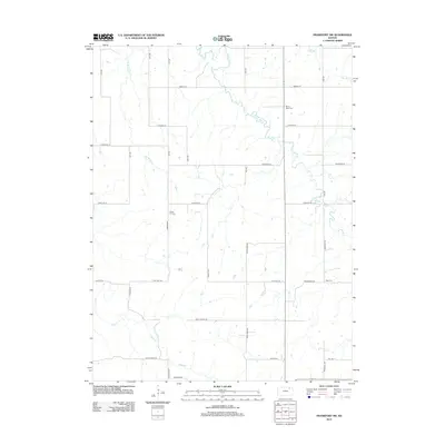
2012 Map of Frankfort SW
USGS Topo · Published 2012About this map
The agrarian landscape of Pottawatomie County is defined here by the branching waters of Clear Fork and Bluff Cr. This 2012 survey illustrates a mature rural infrastructure where the section line road grid is punctuated by local heritage sites and named family-linked landmarks. Notable burial grounds, including Mount Hope Cem in the north and Cedar Hill Cem and Berg Cem further south, provide essential points of reference for genealogists tracking early settlers of this Kansas prairie.
Find a feature on this map
32 named features on this map. Tap any name to fly to it.
Don’t see what you’re looking for? This feature index may not catch every label — zoom into the map to look around manually.
Map Details
Editions of this 2012 Frankfort SW Map
This is the sole edition of this map. No revisions or reprints were ever made.
Other maps of this area

1886 · Junction City
USGS Topo · 1:125,000

1889 · Seneca
USGS Topo · 1:125,000

1889 · Wamego
USGS Topo · 1:125,000

1889 · Marysville
USGS Topo · 1:125,000

1889 · Junction City
USGS Topo · 1:125,000

1894 · Junction City
USGS Topo · 1:125,000

1894 · Seneca
USGS Topo · 1:125,000

1894 · Marysville
USGS Topo · 1:125,000

1894 · Wamego
USGS Topo · 1:125,000

1955 · Manhattan
USGS Topo · 1:250,000