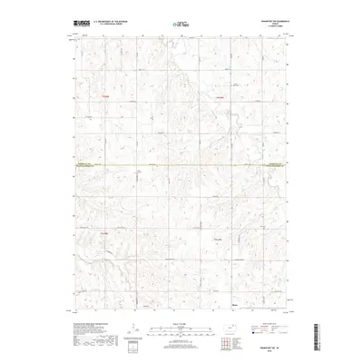
2018 Map of Frankfort SW
USGS Topo · Published 2018About this map
Blaine sits in the southern portion of this landscape, marking a key point of settlement along the border of Pottawatomie and Marshall Counties. The area is defined by the winding course of the Clear Fork, which feeds a series of smaller tributaries including De Shazer Cr, Jim Cr, and Bluff Cr. The region is structured by a methodical grid of rural roads such as Parallel Rd and Maple Grove Rd, reflecting the late-era agricultural layout of the Kansas prairie. Genealogists will find three distinct burial sites preserved across these sections, including Mount Hope Cem in the north, Cedar Hill Cem centrally located near Shannon Rd, and Berg Cem to the east. The terrain represents a transition from high prairie divides down into the wooded draws of the Clear Fork basin.
Find a feature on this map
41 named features on this map. Tap any name to fly to it.
Don’t see what you’re looking for? This feature index may not catch every label — zoom into the map to look around manually.
Map Details
Editions of this 2018 Frankfort SW Map
This is the sole edition of this map. No revisions or reprints were ever made.
Other maps of this area

1886 · Junction City
USGS Topo · 1:125,000

1889 · Seneca
USGS Topo · 1:125,000

1889 · Wamego
USGS Topo · 1:125,000

1889 · Marysville
USGS Topo · 1:125,000

1889 · Junction City
USGS Topo · 1:125,000

1894 · Junction City
USGS Topo · 1:125,000

1894 · Seneca
USGS Topo · 1:125,000

1894 · Marysville
USGS Topo · 1:125,000

1894 · Wamego
USGS Topo · 1:125,000

1955 · Manhattan
USGS Topo · 1:250,000