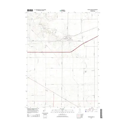
2015 Map of Franklin Grove
USGS Topo · Published 2015About this map
Franklin Grove serves as the primary hub of this Lee County landscape, where the local street grid including N Elm St and S Walnut St meets the rural agricultural sections. The area is marked by several significant burial grounds, from the large Franklin Grove Cemetery near the village center to the outlying Temperance Hill Cem and Bradford Cem. The winding path of Franklin Cr dictates much of the northern topography, crossed by the distinctively named Mondays Bridge and Sundays Bridge. Farther south, the terrain rises toward Temperance Hill, while the Gittleson Farms Airport indicates the modern integration of light aviation into the farming economy. A dense network of township roads like Rocky Ford Rd and S Daysville Rd connects these landmarks, revealing the enduring section-line organization of the Illinois prairie.
Find a feature on this map
42 named features on this map. Tap any name to fly to it.
Don’t see what you’re looking for? This feature index may not catch every label — zoom into the map to look around manually.
Map Details
Editions of this 2015 Franklin Grove Map
This is the sole edition of this map. No revisions or reprints were ever made.
Other maps of this area

1918 · Dixon
USGS Topo · 1:62,500

1950 · Dixon
USGS Topo · 1:62,500

1951 · Amboy
USGS Topo · 1:62,500

1952 · Rochelle
USGS Topo · 1:62,500

1952 · Mendota
USGS Topo · 1:62,500

1958 · Aurora
USGS Topo · 1:250,000

1961 · Aurora
USGS Topo · 1:250,000
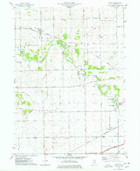
1975 · Chana
USGS Topo · 1:24,000
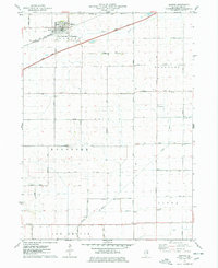
1975 · Ashton
USGS Topo · 1:24,000
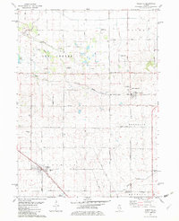
1982 · Sublette
USGS Topo · 1:24,000
Featured Places
- Franklin Grove, IL
- Ashton Township, IL
- Franklin Grove Township, IL
- Nachusa Township, IL
- Amboy Township, IL