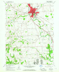
1961 Map of Franklin
USGS Topo · Published 1964About this map
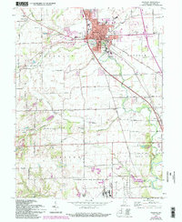
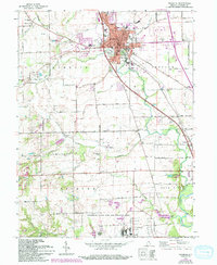
Franklin serves as the bustling heart of this Johnson County landscape, centered on its historic Court House and City Hall. The town's mid-century footprint is well-defined by institutions like the Masonic Home, County Memorial Hospital, and several schools including Northwood Sch and Southside Sch. The era's transportation network is anchored by the Pennsylvania Railroad and N Y C Railroad, which intersect the agricultural fields and numerous drainage ditches like the Hazelett Ditch that shaped the regional economy.
Find a feature on this map
72 named features on this map. Tap any name to fly to it.
Don’t see what you’re looking for? This feature index may not catch every label — zoom into the map to look around manually.
Map Details
Editions of this 1961 Franklin Map
6 editions found
Other maps of this area

1942 · Franklin
USGS Topo · 1:125,000

1942 · Columbus
USGS Topo · 1:125,000

1947 · Franklin
USGS Topo · 1:62,500

1948 · Franklin
USGS Topo · 1:24,000

1948 · Edinburg
USGS Topo · 1:24,000

1948 · Trafalgar
USGS Topo · 1:24,000

1948 · Nineveh
USGS Topo · 1:24,000

1948 · Marietta
USGS Topo · 1:24,000

1948 · Fruitdale
USGS Topo · 1:24,000

1950 · Franklin
USGS Topo · 1:62,500