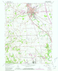
1961 Map of Franklin
USGS Topo · Published 1981About this map
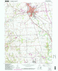
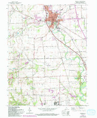
The city of Franklin serves as the focal point of this Johnson County survey, showing the community just as post-war growth began to expand its borders. The historic campus of Franklin College and the extensive grounds of the Masonic Home and Masonic Hospital anchor the eastern side of town, while the County Fairground and County Memorial Hospital mark the western edge. Cultural and civic life is centered around Province Park and the City Hall, with several local landmarks like St Rose Church and Grace Church established within the street grid.
Find a feature on this map
71 named features on this map. Tap any name to fly to it.
Don’t see what you’re looking for? This feature index may not catch every label — zoom into the map to look around manually.
Map Details
Editions of this 1961 Franklin Map
6 editions found
Other maps of this area

1942 · Franklin
USGS Topo · 1:125,000

1942 · Columbus
USGS Topo · 1:125,000

1947 · Franklin
USGS Topo · 1:62,500

1948 · Franklin
USGS Topo · 1:24,000

1948 · Edinburg
USGS Topo · 1:24,000

1948 · Trafalgar
USGS Topo · 1:24,000

1948 · Nineveh
USGS Topo · 1:24,000

1948 · Marietta
USGS Topo · 1:24,000

1948 · Fruitdale
USGS Topo · 1:24,000

1950 · Franklin
USGS Topo · 1:62,500