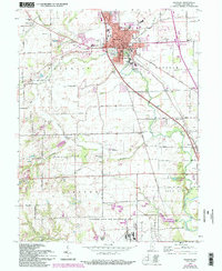
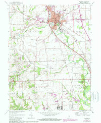
1961 Map of Franklin
USGS Topo · Published 1994About this map
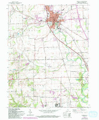
Franklin serves as a bustling hub in Johnson County, defined by its traditional grid and prominent institutions such as Franklin College and the Masonic Home. The town is situated at the confluence of several waterways, including Youngs Creek and Hurricane Creek, which drain the surrounding agricultural flats. To the south, the landscape transitions into the preserved wetlands and forests of the Atterbury State Fish and Wildlife Area. Genealogists and local historians will find several well-defined burial grounds scattered across the countryside, including Hopewell Cemetery to the west and the small Mulligans Cemetery near the center of the sheet. The 1961 revisions, updated in the 1980s, reveal the expansion of residential areas and the infrastructure of the Conrail railroad line. Rural life outside the town center is marked by several small settlements like Amity and Hopewell, and various local landmarks such as the Franklin Flying Field and Hillview Country Club.
Find a feature on this map
70 named features on this map. Tap any name to fly to it.
Don’t see what you’re looking for? This feature index may not catch every label — zoom into the map to look around manually.
Map Details
Editions of this 1961 Franklin Map
6 editions found
Other maps of this area

1942 · Franklin
USGS Topo · 1:125,000

1942 · Columbus
USGS Topo · 1:125,000

1947 · Franklin
USGS Topo · 1:62,500

1948 · Franklin
USGS Topo · 1:24,000

1948 · Edinburg
USGS Topo · 1:24,000

1948 · Trafalgar
USGS Topo · 1:24,000

1948 · Nineveh
USGS Topo · 1:24,000

1948 · Marietta
USGS Topo · 1:24,000

1948 · Fruitdale
USGS Topo · 1:24,000

1950 · Franklin
USGS Topo · 1:62,500