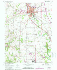
1961 Map of Franklin
USGS Topo · Published 1988About this map
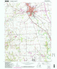
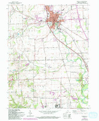
The county seat of Franklin serves as the central hub of this 1960s landscape, which was later updated in the late 1980s. The town's institutional history is clearly visible through landmarks like the Masonic Home, the County Memorial Hospital, and the County Fairgrounds. To the south, the extensive Atterbury State Fish and Wildlife Area and Atterbury Reserve Forces Area dominate the terrain, reflecting the significant military and conservation footprint in Johnson County.
Find a feature on this map
54 named features on this map. Tap any name to fly to it.
Don’t see what you’re looking for? This feature index may not catch every label — zoom into the map to look around manually.
Map Details
Editions of this 1961 Franklin Map
6 editions found
Other maps of this area

1942 · Franklin
USGS Topo · 1:125,000

1942 · Columbus
USGS Topo · 1:125,000

1947 · Franklin
USGS Topo · 1:62,500

1948 · Franklin
USGS Topo · 1:24,000

1948 · Edinburg
USGS Topo · 1:24,000

1948 · Trafalgar
USGS Topo · 1:24,000

1948 · Nineveh
USGS Topo · 1:24,000

1948 · Marietta
USGS Topo · 1:24,000

1948 · Fruitdale
USGS Topo · 1:24,000

1950 · Franklin
USGS Topo · 1:62,500