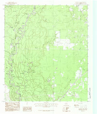
1984 Map of Franklin Lake
USGS Topo · Published 1985About this map
The Neches River serpentines along the boundary of Hardin and Jasper counties, defining a landscape of dense bottomland and intricate waterways within the Big Thicket National Preserve. This 1984 provisional survey documents a river-bound environment where the water's path is marked by sharp oxbows and named bends such as Cocklebur Bend and Old Stove Bend. The surrounding terrain is a mosaic of sloughs and overflow lakes, including Franklin Lake, Black Creek Lake, and Shade Lake, which speak to the area's hydrology before modern modifications.
Find a feature on this map
51 named features on this map. Tap any name to fly to it.
Don’t see what you’re looking for? This feature index may not catch every label — zoom into the map to look around manually.
Map Details
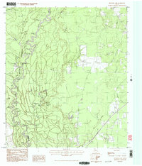
Editions of this 1984 Franklin Lake Map
2 editions found
Other maps of this area

1952 · Lake Charles
USGS Topo · 1:250,000

1954 · Lake Charles
USGS Topo · 1:250,000

1954 · Beaumont
USGS Topo · 1:250,000

1955 · Silsbee
USGS Topo · 1:62,500

1955 · Bessmay
USGS Topo · 1:62,500

1957 · Beaumont
USGS Topo · 1:250,000

1958 · Spurger
USGS Topo · 1:62,500

1958 · Kirbyville
USGS Topo · 1:62,500

1984 · Beaumont
USGS Topo · 1:250,000

1984 · Potato Patch Lake
USGS Topo · 1:24,000