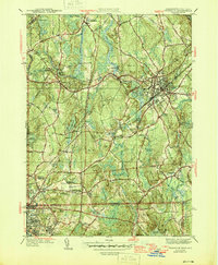
1946 Map of Franklin
USGS Topo · Published 1946About this map
The New York New Haven and Hartford RR forms a critical backbone for this post-war landscape, connecting the industrial center of Franklin with smaller outposts like Unionville, Wadsworth, and North Bellingham. The map illustrates a region in transition, where established residential cores meet the expanding recreational and infrastructure needs of the mid-1940s, evidenced by the Winnesuket Golf Club and the Woonsocket Airport. Notable institutional landmarks include Dean Academy and the Mt St Rita Convent, alongside local spiritual centers such as St Franklin Ch and the Ballow Meetinghouse.
Find a feature on this map
73 named features on this map. Tap any name to fly to it.
Don’t see what you’re looking for? This feature index may not catch every label — zoom into the map to look around manually.
Map Details
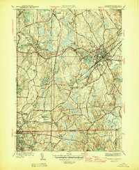
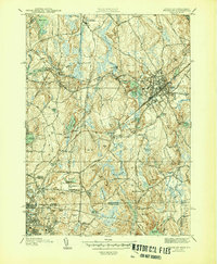
Editions of this 1946 Franklin Map
3 editions found
Other maps of this area

1886 · Blackstone
USGS Topo · 1:62,500

1887 · Franklin
USGS Topo · 1:62,500

1887 · Providence
USGS Topo · 1:62,500

1889 · Providence
USGS Topo · 1:62,500

1889 · Blackstone
USGS Topo · 1:62,500

1889 · Franklin
USGS Topo · 1:62,500

1889 · Burrillville
USGS Topo · 1:62,500

1893 · Franklin
USGS Topo · 1:62,500

1893 · Blackstone
USGS Topo · 1:62,500

1894 · Burrillville
USGS Topo · 1:62,500