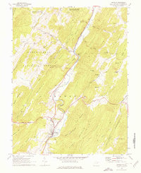
1969 Map of Franklin
USGS Topo · Published 1977About this map
The South Branch Potomac River snakes through a valley of ridges and hollows in this late 1960s survey of Pendleton County. The town of Franklin serves as the focal point, situated at the confluence where Trout Run meets the river. The surrounding landscape is defined by the massive slopes of Mill Run Mountain and Dickinson Mountain, with much of the western terrain protected within the Monongahela National Forest.
Find a feature on this map
63 named features on this map. Tap any name to fly to it.
Don’t see what you’re looking for? This feature index may not catch every label — zoom into the map to look around manually.
Map Details
Editions of this 1969 Franklin Map
3 editions found
Other maps of this area

1892 · Franklin
USGS Topo · 1:125,000

1896 · Franklin
USGS Topo · 1:125,000

1920 · Petersburg
USGS Topo · 1:48,000

1920 · Onego
USGS Topo · 1:62,500

1921 · Petersburg
USGS Topo · 1:48,000

1921 · Onego
USGS Topo · 1:48,000

1922 · Onego
USGS Topo · 1:62,500

1922 · Fort Seybert
USGS Topo · 1:48,000

1922 · Petersburg
USGS Topo · 1:62,500

1922 · Circleville
USGS Topo · 1:62,500