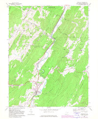
1969 Map of Franklin
USGS Topo · Published 1982About this map
The South Branch Potomac River meanders through a landscape defined by prominent ridges and river-bottom settlements in this late 1960s study of Pendleton County. The town of Franklin serves as the focal point, positioned where Taylor Run and Propst Run meet the river valley. The map reveals the community's mid-century infrastructure, including a Drive-in Theater, a Radio Tower, and a Picnic Area along the water. To the north, the small settlement of Ruddle and landmarks like Wilson Hole and the Trailer Park illustrate the rural development pattern along the primary valley road.
Find a feature on this map
61 named features on this map. Tap any name to fly to it.
Don’t see what you’re looking for? This feature index may not catch every label — zoom into the map to look around manually.
Map Details
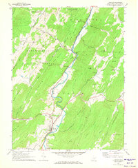
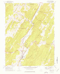
Editions of this 1969 Franklin Map
3 editions found
Other maps of this area

1892 · Franklin
USGS Topo · 1:125,000

1896 · Franklin
USGS Topo · 1:125,000

1920 · Petersburg
USGS Topo · 1:48,000

1920 · Onego
USGS Topo · 1:62,500

1921 · Petersburg
USGS Topo · 1:48,000

1921 · Onego
USGS Topo · 1:48,000

1922 · Onego
USGS Topo · 1:62,500

1922 · Fort Seybert
USGS Topo · 1:48,000

1922 · Petersburg
USGS Topo · 1:62,500

1922 · Circleville
USGS Topo · 1:62,500