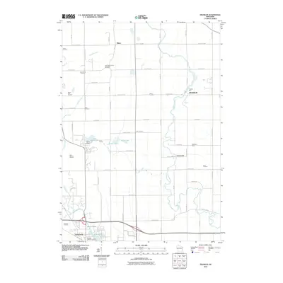
2010 Map of Franklin
USGS Topo · Published 2010About this map
Plymouth anchors the southwest corner of this Sheboygan County landscape, where the Mullet River and Jackson Creek converge near the Plymouth Millpond 58-6. This 2010 survey highlights a region defined by its rural heritage and recreational landmarks, notably the sprawling Road America Raceway and Camp Anokijig situated near Little Elkhart Lake. The map serves as a vital record for genealogists, documenting numerous burial sites such as the Saint John German Evangelical Cemetery, Liberty Cemetery, and Zoar Cemetery scattered across the township lines.
Find a feature on this map
64 named features on this map. Tap any name to fly to it.
Don’t see what you’re looking for? This feature index may not catch every label — zoom into the map to look around manually.
Map Details
Editions of this 2010 Franklin Map
This is the sole edition of this map. No revisions or reprints were ever made.
Other maps of this area

1954 · Sheboygan Falls
USGS Topo · 1:62,500

1954 · School Hill
USGS Topo · 1:24,000

1954 · Sheboygan Falls
USGS Topo · 1:24,000

1954 · St. Wendel
USGS Topo · 1:24,000

1954 · Howards Grove
USGS Topo · 1:62,500

1954 · Howards Grove
USGS Topo · 1:24,000

1954 · Franklin
USGS Topo · 1:24,000

1954 · Kiel
USGS Topo · 1:62,500

1954 · Milwaukee
USGS Topo · 1:250,000

1955 · Kewaskum
USGS Topo · 1:62,500