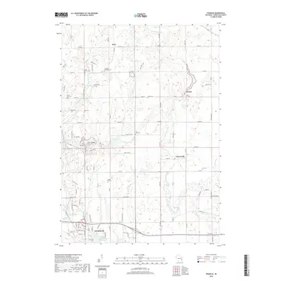
2018 Map of Franklin
USGS Topo · Published 2018About this map
The Sheboygan River winds through the rural heart of Sheboygan County, anchoring a landscape defined by glacial hydrology and longstanding agrarian communities. In the northern reaches, the settlement of Rhine and the historic crossroads of Franklin sit among a dense network of country lanes like Rhine Rd and Co Rd MM. The area is notably thick with local heritage sites, including the Saint Peter Evangelical Cem and Liberty Cem, which point to the established genealogy of the region.
Find a feature on this map
82 named features on this map. Tap any name to fly to it.
Don’t see what you’re looking for? This feature index may not catch every label — zoom into the map to look around manually.
Map Details
Editions of this 2018 Franklin Map
This is the sole edition of this map. No revisions or reprints were ever made.
Other maps of this area

1954 · Sheboygan Falls
USGS Topo · 1:62,500

1954 · School Hill
USGS Topo · 1:24,000

1954 · Sheboygan Falls
USGS Topo · 1:24,000

1954 · St. Wendel
USGS Topo · 1:24,000

1954 · Howards Grove
USGS Topo · 1:62,500

1954 · Howards Grove
USGS Topo · 1:24,000

1954 · Franklin
USGS Topo · 1:24,000

1954 · Kiel
USGS Topo · 1:62,500

1954 · Milwaukee
USGS Topo · 1:250,000

1955 · Kewaskum
USGS Topo · 1:62,500