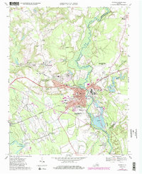
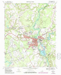
1967 Map of Franklin
USGS Topo · Published 1986About this map
The Blackwater River and Nottoway River define this corner of the Commonwealth, where the independent city of Franklin serves as a regional hub for rail and commerce. The landscape is characterized by the convergence of the Norfolk and Western and Seaboard railroads, which facilitated the industrial development evident in the industrial waste ponds and sewage infrastructure near the riverbanks. Beyond the urban center, the map reveals a network of rural communities such as Hunterdale, Edgehill, and South Quay, each anchored by local institutions like St Johns Ch and Hayden High Sch. This photogrammetric survey, updated in the mid-1980s, highlights the expansion of municipal services, including the Franklin Municipal John Beverly Rose Airport and the Southampton Memorial Hospital, illustrating the growth of the Tidewater region as it modernized while maintaining its agricultural and swamp-forest fringes.
Find a feature on this map
52 named features on this map. Tap any name to fly to it.
Don’t see what you’re looking for? This feature index may not catch every label — zoom into the map to look around manually.
Map Details
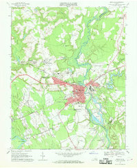
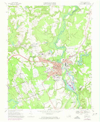
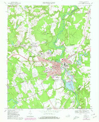
Editions of this 1967 Franklin Map
5 editions found
Other maps of this area

1919 · Homeville
USGS Topo · 1:48,000

1919 · Boykins
USGS Topo · 1:48,000

1920 · Holland
USGS Topo · 1:62,500

1920 · Ivor
USGS Topo · 1:62,500

1920 · Homeville
USGS Topo · 1:62,500

1920 · Boykins
USGS Topo · 1:62,500

1943 · Holland
USGS Topo · 1:62,500

1943 · Vicksville
USGS Topo · 1:31,680

1944 · Sedley
USGS Topo · 1:24,000

1944 · Zuni
USGS Topo · 1:24,000