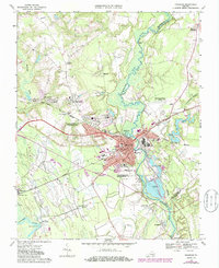
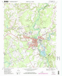
1967 Map of Franklin
USGS Topo · Published 1986About this map
The city of Franklin serves as the industrial and civic anchor of this 1967 survey, positioned at a critical junction where the Blackwater River turns south toward the state line. The map highlights the urban expansion of the era, from the established neighborhoods around Poplar Springs Cemetery to new developments at Cypress Manor and Scottswood. Industrial activity is prominently marked by the large complex and Industrial Waste Ponds along the river, fueled by the intersecting lines of the Norfolk and Western and Seaboard railroads.
Find a feature on this map
57 named features on this map. Tap any name to fly to it.
Don’t see what you’re looking for? This feature index may not catch every label — zoom into the map to look around manually.
Map Details
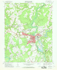
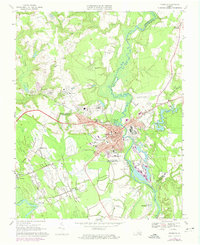
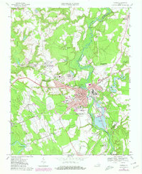
Editions of this 1967 Franklin Map
5 editions found
Other maps of this area

1919 · Homeville
USGS Topo · 1:48,000

1919 · Boykins
USGS Topo · 1:48,000

1920 · Holland
USGS Topo · 1:62,500

1920 · Ivor
USGS Topo · 1:62,500

1920 · Homeville
USGS Topo · 1:62,500

1920 · Boykins
USGS Topo · 1:62,500

1943 · Holland
USGS Topo · 1:62,500

1943 · Vicksville
USGS Topo · 1:31,680

1944 · Sedley
USGS Topo · 1:24,000

1944 · Zuni
USGS Topo · 1:24,000