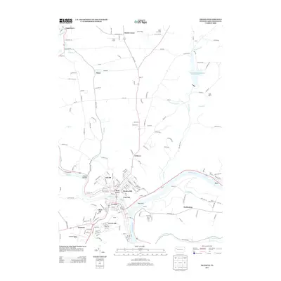
2013 Map of Franklin
USGS Topo · Published 2013About this map
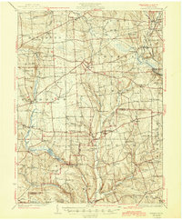
Franklin serves as the focal point of this region, situated at the confluence of French Cr and the Allegheny River. The landscape is defined by the winding paths of these waterways and several significant tributaries, including Twomile Run and Wolf Run. The area's geography is characterized by distinct neighborhoods and small settlements such as Rocky Grove, Galloway, and Mapledale. On the outskirts of the town, infrastructure like the Venango Regional Airport and Fisher Airport highlight the importance of local aviation in connecting these Pennsylvania communities.
Find a feature on this map
179 named features on this map. Tap any name to fly to it.
Don’t see what you’re looking for? This feature index may not catch every label — zoom into the map to look around manually.
Map Details
Editions of this 2013 Franklin Map
This is the sole edition of this map. No revisions or reprints were ever made.
Other maps of this area

1909 · Franklin
USGS Topo · 1:62,500

1911 · Franklin
USGS Topo · 1:62,500
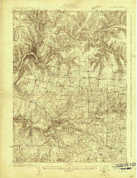
1922 · Oil City
USGS Topo · 1:48,000
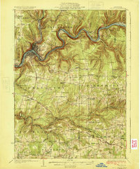
1924 · Oil City
USGS Topo · 1:62,500
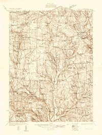
1927 · Townville
USGS Topo · 1:48,000
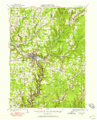
1927 · Titusville
USGS Topo · 1:62,500
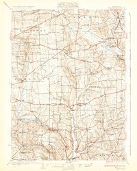
1932 · Townville
USGS Topo · 1:62,500
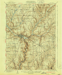
1933 · Titusville
USGS Topo · 1:62,500
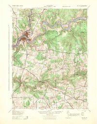
1943 · Oil City
USGS Topo · 1:62,500
1945 · Townville
USGS Topo · 1:62,500