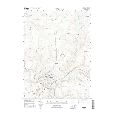
2016 Map of Franklin
USGS Topo · Published 2016About this map
The confluence of the Allegheny River and French Creek anchors this topographic study of Venango County, where the historic city of Franklin and the adjacent borough of Sugarcreek spread across the narrow river valleys. The landscape is defined by steep, wooded hillsides rising to named heights such as Galena Hill, Gurney Hill, and Bleakley Hill. This 2016 data illustrates a deeply established community with numerous resting places, including Pioneer Cem, Mount Zion Cem, and the expansive Franklin Cem. Significant transportation infrastructure is evident, from the Venango Regional Airport on the southern plateau to the arterial routes serving neighborhood clusters like Rocky Grove, Oak Hill, and Uniontown. To the east, the Allegheny River loops toward Reno, while the Two Mile Run Reservoir provides a substantial water feature in the northern highlands near the settlement of Mason.
Find a feature on this map
133 named features on this map. Tap any name to fly to it.
Don’t see what you’re looking for? This feature index may not catch every label — zoom into the map to look around manually.
Map Details
Editions of this 2016 Franklin Map
This is the sole edition of this map. No revisions or reprints were ever made.
Other maps of this area

1909 · Franklin
USGS Topo · 1:62,500

1911 · Franklin
USGS Topo · 1:62,500

1922 · Oil City
USGS Topo · 1:48,000

1924 · Oil City
USGS Topo · 1:62,500

1927 · Townville
USGS Topo · 1:48,000

1927 · Titusville
USGS Topo · 1:62,500

1932 · Townville
USGS Topo · 1:62,500

1933 · Titusville
USGS Topo · 1:62,500

1943 · Oil City
USGS Topo · 1:62,500

1945 · Townville
USGS Topo · 1:62,500