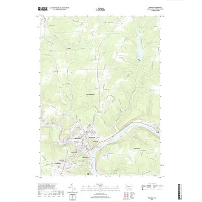
2019 Map of Franklin
USGS Topo · Published 2019About this map
The Allegheny River and French Creek converge at Franklin, the seat of power for the region marked by the central Venango County Courthouse. This 2019 survey illustrates the dense residential and civic layout of the city and its surrounding hills, including Rocky Grove and Oak Hill. The topography is defined by steep ridges separated by several waterways such as Twomile Run and Wolf Run, which have historically dictated the placement of roads and neighborhoods. Local genealogy is well-supported by numerous burial grounds, including the Pioneer Cem and Saint Patricks Cem. To the north, Sugarcreek transitions into more open terrain near Fisher Airport, while to the west, the Venango Regional Airport occupies the high ground above Uniontown and Mapledale.
Find a feature on this map
135 named features on this map. Tap any name to fly to it.
Don’t see what you’re looking for? This feature index may not catch every label — zoom into the map to look around manually.
Map Details
Editions of this 2019 Franklin Map
This is the sole edition of this map. No revisions or reprints were ever made.
Other maps of this area

1909 · Franklin
USGS Topo · 1:62,500

1911 · Franklin
USGS Topo · 1:62,500

1922 · Oil City
USGS Topo · 1:48,000

1924 · Oil City
USGS Topo · 1:62,500

1927 · Townville
USGS Topo · 1:48,000

1927 · Titusville
USGS Topo · 1:62,500

1932 · Townville
USGS Topo · 1:62,500

1933 · Titusville
USGS Topo · 1:62,500

1943 · Oil City
USGS Topo · 1:62,500

1945 · Townville
USGS Topo · 1:62,500