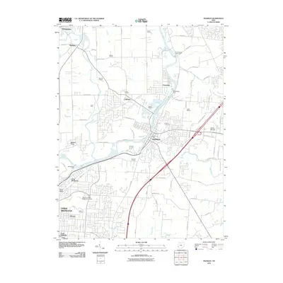
2010 Map of Franklin
USGS Topo · Published 2010About this map
The Great Miami River anchors this landscape, its course marked by industrial and community landmarks including the O H Hutchings Station Dam and the Chautauqua Dam. The river valley connects several distinct settlements, from Franklin and Carlisle to the northern residential outskirts of North Middletown. For local history researchers, the map provides a clear record of established community infrastructure, including the Miami University Middletown Branch and several family-named burial grounds like Stettler Cemetery and Swartzel Cemetery.
Find a feature on this map
84 named features on this map. Tap any name to fly to it.
Don’t see what you’re looking for? This feature index may not catch every label — zoom into the map to look around manually.
Map Details
Editions of this 2010 Franklin Map
This is the sole edition of this map. No revisions or reprints were ever made.
Other maps of this area

1904 · Mason
USGS Topo · 1:62,500

1906 · Mason
USGS Topo · 1:62,500

1908 · Miamisburg
USGS Topo · 1:62,500

1913 · Waynesville
USGS Topo · 1:62,500

1914 · Morrow
USGS Topo · 1:62,500

1915 · Waynesville
USGS Topo · 1:62,500

1916 · Morrow
USGS Topo · 1:62,500

1951 · Franklin
USGS Topo · 1:24,000

1953 · Cincinnati
USGS Topo · 1:250,000

1955 · Monroe
USGS Topo · 1:24,000