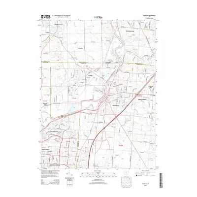
2013 Map of Franklin
USGS Topo · Published 2013About this map
The Great Miami River valley serves as the central artery for this densely developed corridor, where the boundaries of Montgomery, Warren, and Butler counties converge. Industrial and residential growth is anchored by the historic river towns of Franklin and Middletown, which are connected by heavy rail lines including the Norfolk Southern. This 2013 survey illustrates the modern expansion of suburban communities such as Carlisle and Springboro while preserving older landmarks like the Hummel Airport and Southwestern Coll.
Find a feature on this map
294 named features on this map. Tap any name to fly to it.
Don’t see what you’re looking for? This feature index may not catch every label — zoom into the map to look around manually.
Map Details
Editions of this 2013 Franklin Map
This is the sole edition of this map. No revisions or reprints were ever made.
Other maps of this area

1904 · Mason
USGS Topo · 1:62,500

1906 · Mason
USGS Topo · 1:62,500

1908 · Miamisburg
USGS Topo · 1:62,500

1913 · Waynesville
USGS Topo · 1:62,500

1914 · Morrow
USGS Topo · 1:62,500

1915 · Waynesville
USGS Topo · 1:62,500

1916 · Morrow
USGS Topo · 1:62,500

1951 · Franklin
USGS Topo · 1:24,000

1953 · Cincinnati
USGS Topo · 1:250,000

1955 · Monroe
USGS Topo · 1:24,000