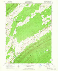
1963 Map of Franklinville
USGS Topo · Published 1965About this map
Pennsylvania Furnace stands as a focal point of industrial history in this 1963 survey of the Central Pennsylvania landscape. Situated along the boundary of Centre and Huntingdon counties, the region is defined by the high ridges of Tussey Mountain and Leading Ridge, which hem in the complex drainage of Spruce Creek. The map documents a landscape transitioning from its 19th-century furnace and forge roots toward modern utility, evidenced by the presence of the Warriors Mark Airport and the sprawling The Barrens. Recreational and geological sites are prominent, including the Indian Caverns near Franklinville and the expansive Rothrock State Forest. For genealogists, the map preserves the locations of rural congregations like Center Line Ch and small settlements including Seven Stars and Frogtown.
Find a feature on this map
53 named features on this map. Tap any name to fly to it.
Don’t see what you’re looking for? This feature index may not catch every label — zoom into the map to look around manually.
Map Details
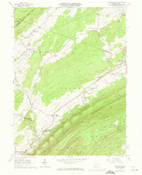
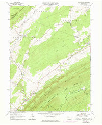
Editions of this 1963 Franklinville Map
3 editions found
Other maps of this area

1908 · Bellefonte
USGS Topo · 1:62,500

1909 · Bellefonte
USGS Topo · 1:62,500

1919 · Menno
USGS Topo · 1:62,500

1922 · Philipsburg
USGS Topo · 1:62,500

1923 · Tyrone
USGS Topo · 1:62,500

1929 · Tyrone
USGS Topo · 1:48,000

1933 · Tyrone
USGS Topo · 1:62,500

1935 · Allensville
USGS Topo · 1:62,500

1938 · Allensville
USGS Topo · 1:62,500

1939 · Philipsburg
USGS Topo · 1:62,500
Featured Places
- Warriors Mark Township, PA
- Spruce Creek Township, PA
- Halfmoon Township, PA
- Taylor Township, PA
- Snyder Township, PA