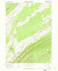
1963 Map of Franklinville
USGS Topo · Published 1973About this map
Pennsylvania Furnace and Huntingdon Furnace anchor the industrial heritage of this Central Pennsylvania landscape, where the legacy of early iron production is woven into the rural topography. The map illustrates a complex network of transportation and geography, from the ridgelines of Bald Eagle Mtn and Tussey Mountain to the specialized transit routes of the Old Halfmoon Railroad and Warriors Mark Railroad. Between these heights lies The Barrens, a distinctive environmental feature characterized by its unique terrain.
Find a feature on this map
55 named features on this map. Tap any name to fly to it.
Don’t see what you’re looking for? This feature index may not catch every label — zoom into the map to look around manually.
Map Details
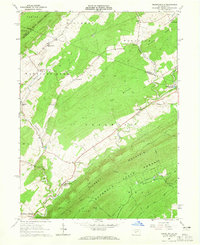
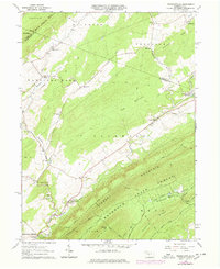
Editions of this 1963 Franklinville Map
3 editions found
Other maps of this area

1908 · Bellefonte
USGS Topo · 1:62,500

1909 · Bellefonte
USGS Topo · 1:62,500

1919 · Menno
USGS Topo · 1:62,500

1922 · Philipsburg
USGS Topo · 1:62,500

1923 · Tyrone
USGS Topo · 1:62,500

1929 · Tyrone
USGS Topo · 1:48,000

1933 · Tyrone
USGS Topo · 1:62,500

1935 · Allensville
USGS Topo · 1:62,500

1938 · Allensville
USGS Topo · 1:62,500

1939 · Philipsburg
USGS Topo · 1:62,500
Featured Places
- Warriors Mark Township, PA
- Spruce Creek Township, PA
- Halfmoon Township, PA
- Taylor Township, PA
- Snyder Township, PA